
Nanga Parbat
Nanga Parbat Overview
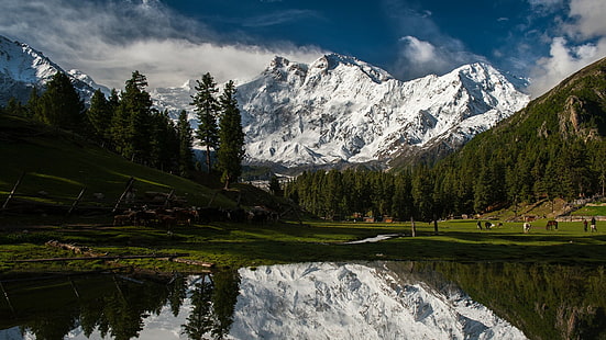
Nanga Parbat (8126 m) is the ninth highest mountain on Earth. Nanga Parbat means “Naked Mountain” in Urdu, Parbat deriving from the Sanskrit word Parvata, meaning “mountain” Nanga Parbat was one of the deadliest of the eight-thousanders for climbers in the first half of the twentieth century; since that time it has been less so, though still an extremely serious climb. It is also aimmense, dramatic peak that rises far above its surrounding terrain.
Location: Nanga Parbat (8126 m) is the western anchor of the Himalayas and is the westernmost eight-thousander. It lies just south of the Indus River, in the Astore District of the Northern Areas.
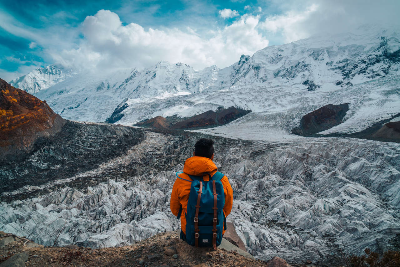
Nanga Parbat (8126 m) has tremendous vertical relief over local terrain in all directions. To the south, Nanga Parbat (8126 m) boasts what is often referred to as the highest mountain face in the world: the Rupal Face rises an incredible 4,600 m (15,000 feet) above its base. To the north, the complex, somewhat more gently sloped Rakhiot Flank rises 7,000 m (22,966 feet) from the Indus River valley to the summit in just 27 km, one of the 10 greatest elevation gains in so short a distance on Earth
Nanga Parbat Gallery

Nanga Parbat Itinerary
Day-01 Islamabad
Arrive in Islamabad and transfer to the hotel. Welfare meeting in Alpine Club of Pakistan, in the afternoon we enjoy a city tour of Rawalpindi and Islamabad.
Day-02 Chilas
Drive to Chilas via Babusar Pass 4173m. Overnight in tents Babusar Pass is a high mountain pass at an elevation of 4.173 m (13,691 ft) above the sea level. The pass is the highest point in the Kaghan Valley, Pakistan. The pass connects the Kaghan Valley via the Thak Nala with Chilas on the Karakoram Highway. It’s one of the famous hair pinned roads in the world.
Day-03 Tarashing
Drive to Astore 112km, 2-3 hrs, here, by Jeeps to Tarashing village, which the last village of Rupal valley and it takes ½ hour
Day-04 Herrligkoffer BC
From Tarashing (2911m), climb the Tarashing glacier’s lateral moraine, near the village’s north edge, and cross the glacier on a trail. Continue up the gentle valley through Rupal village. Rising gradually through Rupal lush fields, the trail follows the valley’s north side to Herrligkoffer base camp (3550m),
Day-05-36
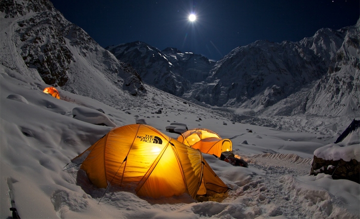
(33 days in Nanga Parbat base camp for climbing)
Day-37 Tarishing
Trek back to Tarishing, overnight at hotel.
Day-38 Naran
Drive back to Chilas, after lunch continue drive to Naran via Babusar Pass 4173m.
Day-39 Islamabad
Drive back to Islamabad 6-7hrs. Overnight at hotel
Day-40 Flyback
Transfer to Islamabad airport for international flight.